Why Rescue Planning Matters in Aerial Operations
9 October, 2026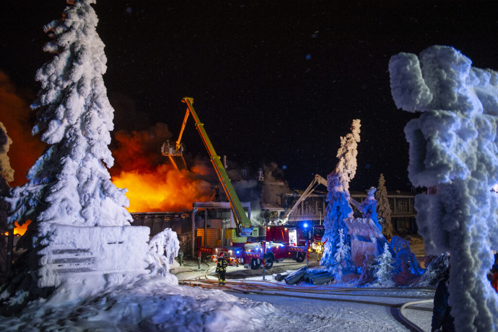
When responding to an emergency at height, every minute matters. Rescue teams often face complex environments where access routes, surrounding structures and suitable setup locations can significantly affect operations. The more crews understand a site before arriving, the faster and safer they can begin their work.
According to Jouni Törnqvist, Director, Digital Solutions & Services at Bronto Skylift, advances in digital planning tools are changing how fire and rescue organizations prepare for these challenges.
“Preparedness starts long before the alarm sounds. The better a fire brigade understands its operating environment, the easier it is to make informed decisions under pressure. Digital planning tools can help crews visualize different scenarios, evaluate deployment options, and identify potential limitations before arriving on site.”
Jouni Törnqvist, Director Digital Solutions & Services, Bronto Skylift

Seeing the Operating Environment Before Arrival
Traditionally, rescue planning has relied on site visits, maps, aerial imagery, operational experience and local knowledge. While these remain important resources, modern 3D visualization tools offer new ways to assess rescue scenarios in advance.
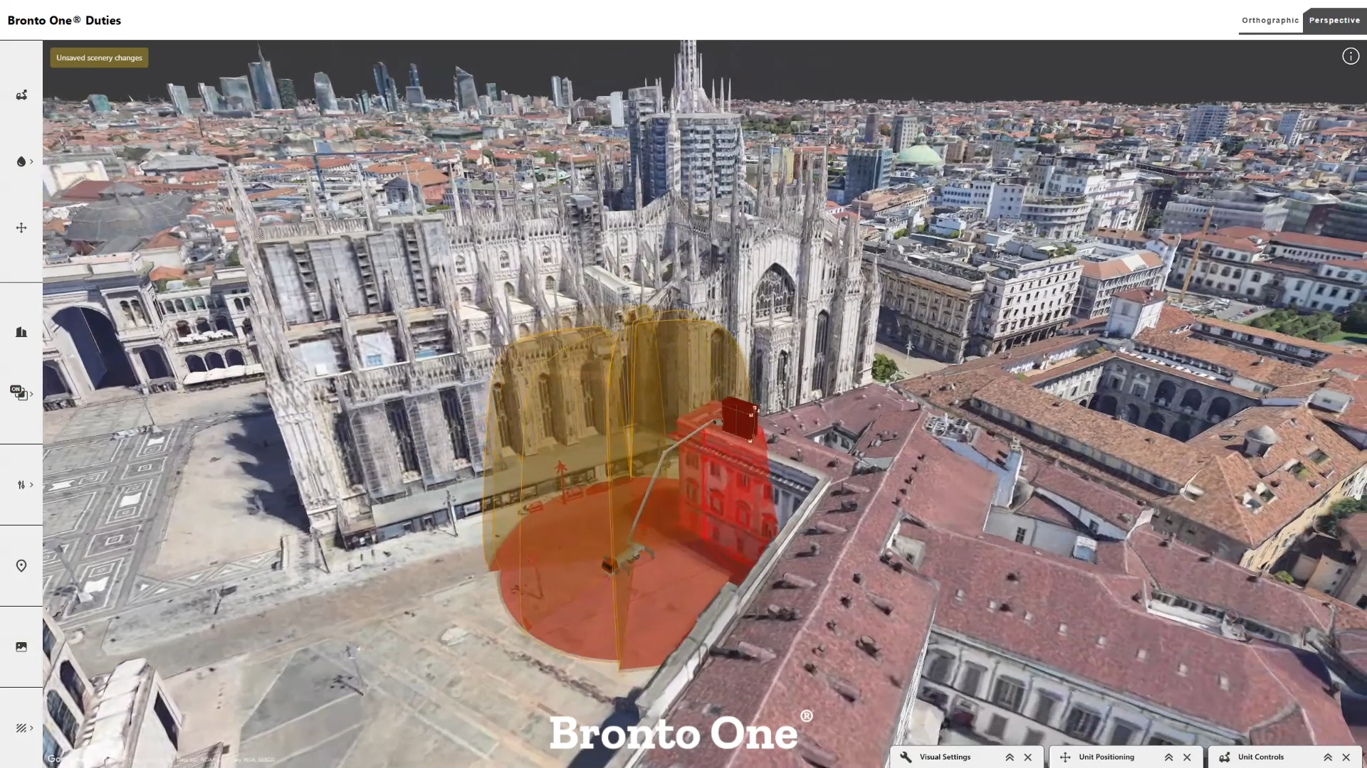
By combining aerial platform performance data with realistic 3D environments, fire brigades can better understand how buildings, courtyards, surrounding structures and access routes may influence operations.
For example, digital planning tools such as Bronto Duties allow users to position an aerial platform within a virtual environment and evaluate outreach capabilities before deployment. This can help answer important operational questions:
-
- Can the platform reach the required rescue location?
- Is there sufficient space for safe vehicle positioning?
- Are there obstacles that limit access to certain areas?
- How do surrounding structures affect available outreach?
“One of the biggest advantages is being able to understand the realities of a location before arriving there. In challenging sites where access is restricted or buildings are closely packed together, that knowledge can support both operational efficiency and safety.”
Jouni Törnqvist, Director Digital Solutions & Services, Bronto Skylift
Understanding the Factors That Influence Reach
A platform’s performance is affected by many operational variables. Cage loads, outrigger configurations, terrain conditions and available setup space can all influence achievable outreach.
Being able to visualize these factors before deployment helps fire brigades better understand the limitations and opportunities of different operating configurations.
“Real-life missions rarely happen under ideal conditions. Digital planning tools such as Bronto Duties, helps organizations understand how different operating configurations affect performance and identify the safest and most effective approach before deployment.”
Jouni Törnqvist, Director Digital Solutions & Services, Bronto Skylift
Digital planning tools can support this process by allowing users to test different configurations in a safe, virtual environment without moving equipment to the site.
Why Site-Specific Planning Is Becoming More Important
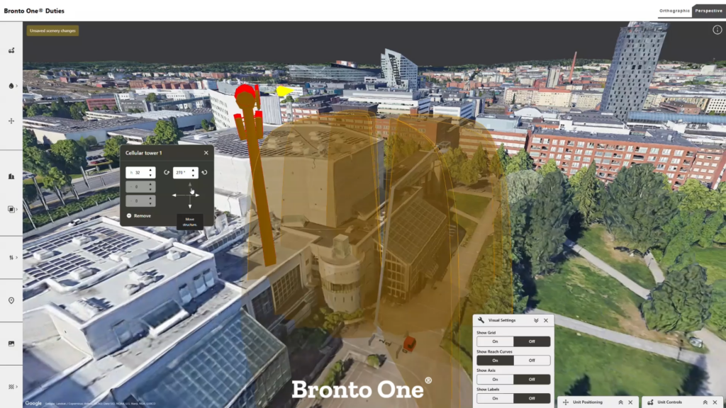
The built environment is constantly changing. New construction, temporary structures, infrastructure projects, communication towers and industrial facilities can all affect access and aerial rescue operations. As a result, many fire brigades are placing greater emphasis on pre-planning and site familiarization.
Modern digital planning softwares allow users to incorporate site-specific structures, measure distances and heights, and assess working areas within a digital environment. This helps create a more realistic understanding of operational challenges before they occur.
“Every site has its own characteristics. The more accurately those conditions can be evaluated during the planning phase, the fewer surprises crews face during an actual operation.”
Jouni Törnqvist, Director Digital Solutions & Services, Bronto Skylift
Building Organizational Readiness
While planning often starts with an individual, preparedness is most effective when knowledge is shared across the organization.
Digital planning tools can help departments document, save and update site assessments over time, creating a growing repository of operational knowledge that remains available regardless of personnel changes.
“Operational readiness should not depend on the experience of a single individual. When planning information is shared and maintained collectively, fire brigades can build a stronger foundation for consistent decision-making and safer operations”
Jouni Törnqvist, Director Digital Solutions & Services, Bronto Skylift
Bronto Duties at a glance
Key Features
-
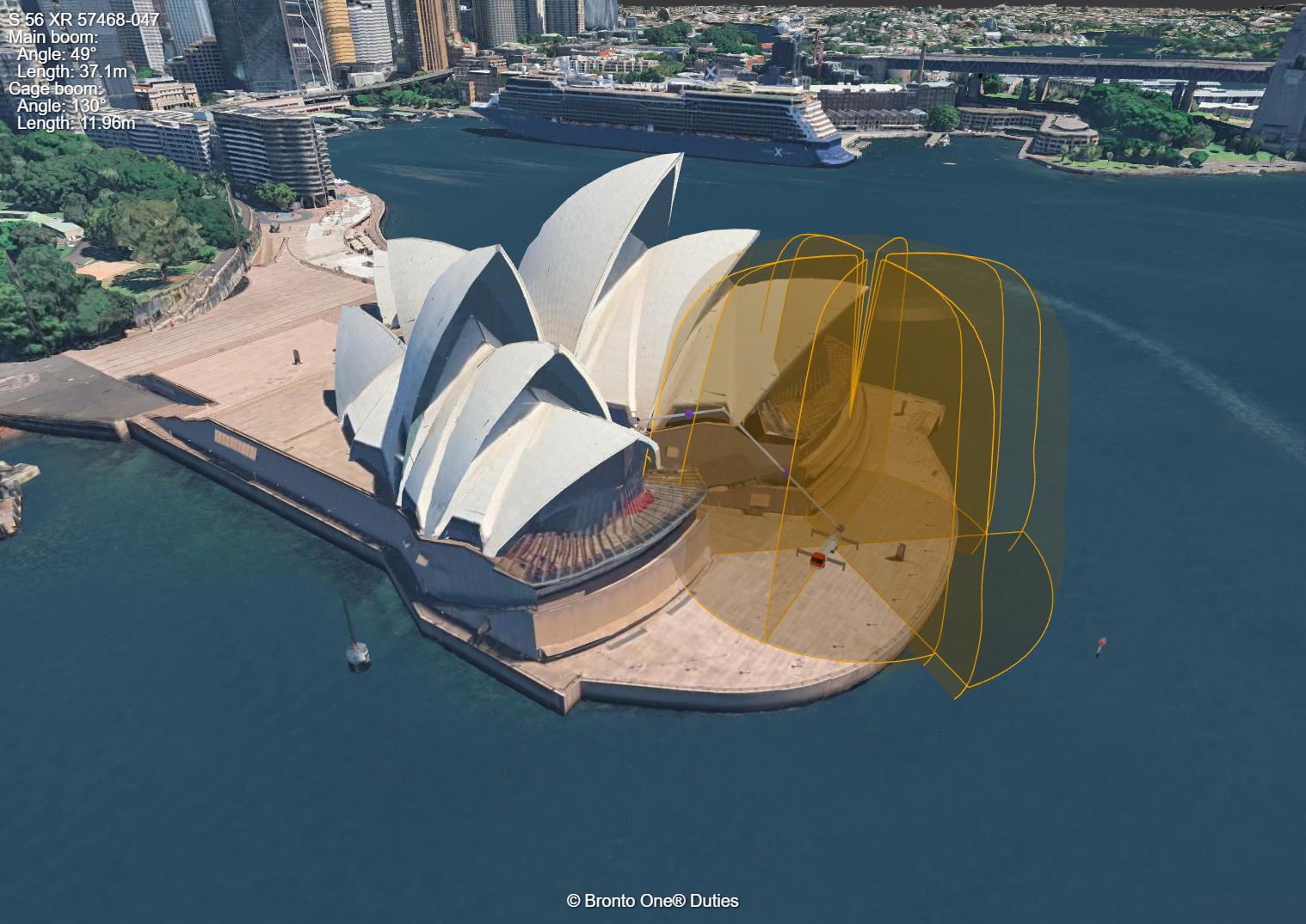
- Real-world 3D environments for planning and assessment
-
- Visualize aerial platform outreach in realistic operating conditions
-
- Simulate the effects of basket load, personnel, and outrigger configurations
-
- Add buildings, towers, and other site-specific structures
- Add other firetrucks and vehicle as 3D objects to the site
-
- Measure distances, heights, and working areas
-
- Save and share plans across the organization
-
- Ideal for pre-planning, training, risk assessment, and operational preparedness
Bronto Duties is integrated into Bronto One, helping fire and rescue organizations combine connected fleet data, operational insights and advanced planning tools in a single digital environment that supports safer and more effective aerial platform operations.